Embark on a captivating journey with Peace River Adventures' guided canoe and kayak tours along the scenic Peace River and Smoky River. Our experienced guides will lead you through these majestic waterways, providing expert knowledge and insight into the region's rich natural beauty and historical significance.
Whether you're a novice paddler or an experienced adventurer, our tours offer a perfect blend of relaxation and exploration. Glide past towering riverbanks, dense forests, and diverse wildlife, while learning about the Indigenous tribes, early explorers, and settlers who have all left their mark on this extraordinary landscape.
With Peace River Adventures, every paddle stroke becomes a step back in time, making your river adventure both educational and unforgettable. Join us and discover the serene beauty and hidden stories of the Peace and Smoky Rivers.


Book Your Trip
Ready to get started? View the links below and customize your trip. Pick your date(s), a start and finish location, your add-ons and submit your request for a guided tour today!
Please note, requests need to be submitted 2 weeks in advance to the start of your trip.
STEP 1: PICK YOUR DATES, LOCATIONs, and Water Craft Options
STEP 3: Book Your Adventure Guide

Be Inspired
Need help deciding on locations to visit? Want to know more about the most scenic spots of breathtaking beauty along the Peace River? Learn more below and start planning your adventure!
The Most Historic Sites on the Peace River
Discovering the rich history along the Peace River is a journey like no other, especially when experienced from the water. As you paddle your kayak or canoe through its gentle...Explore the Most Scenic Spots on the Peace River
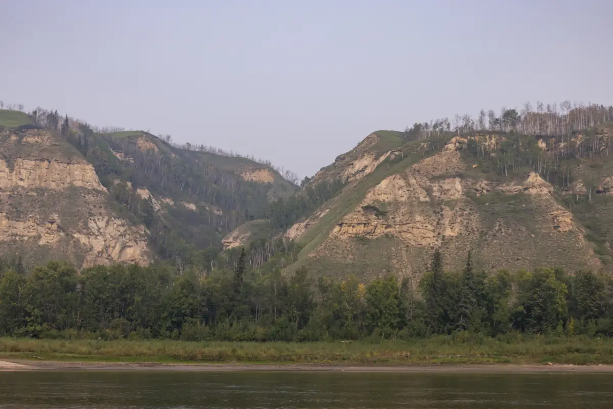
Discover the breathtaking beauty of the Peace River as you journey through its most scenic locations. From winding bends framed by lush forests to towering cliffs along the quiet waters,...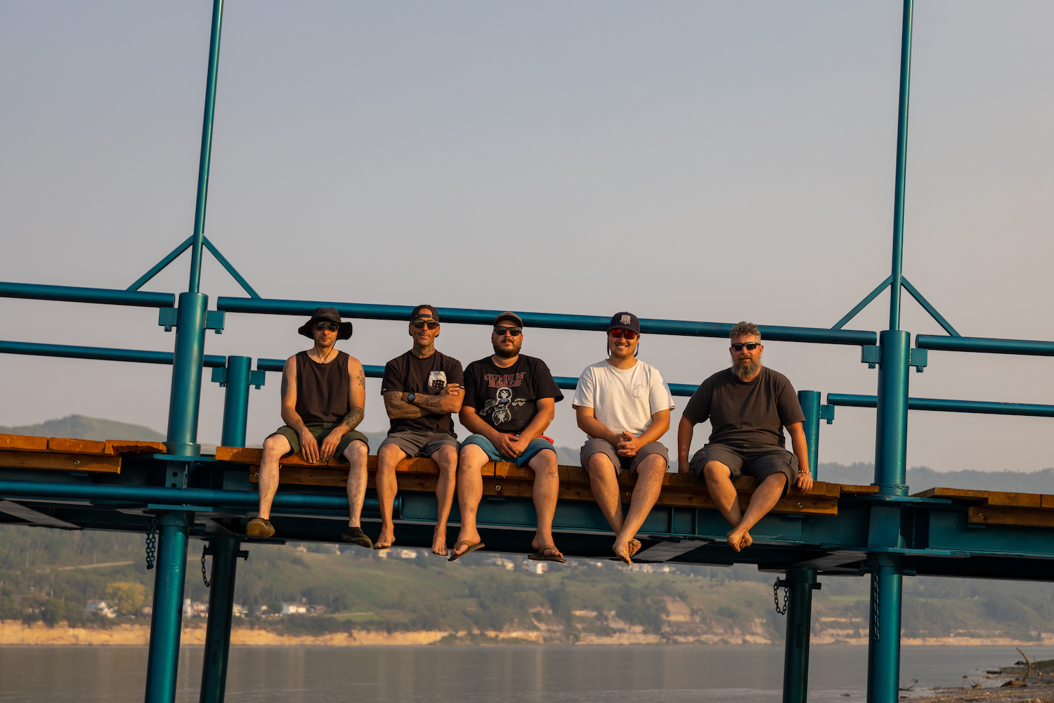
Shuttle Adventures
Embark on an unforgettable journey with Peace River Adventures (PRA), where the thrill of kayaking or canoeing down the serene Peace River or Smoky River awaits. Catering to both seasoned...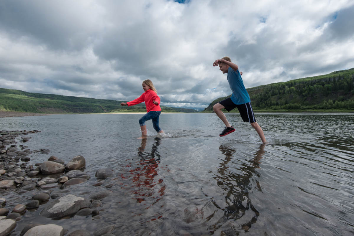
Kid Friendly Canoe Trips
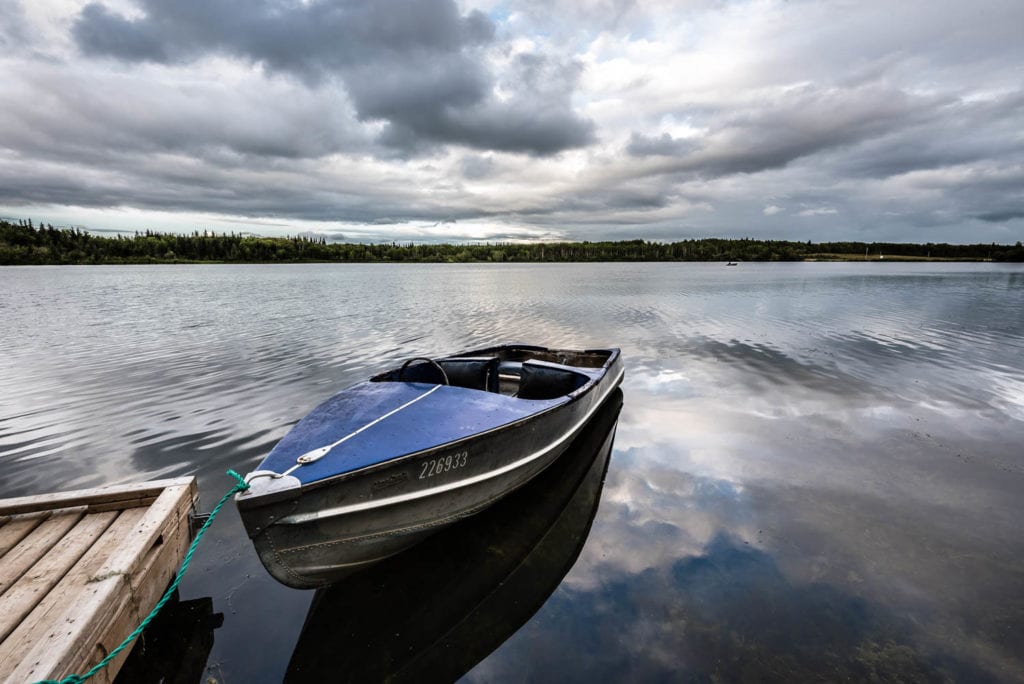
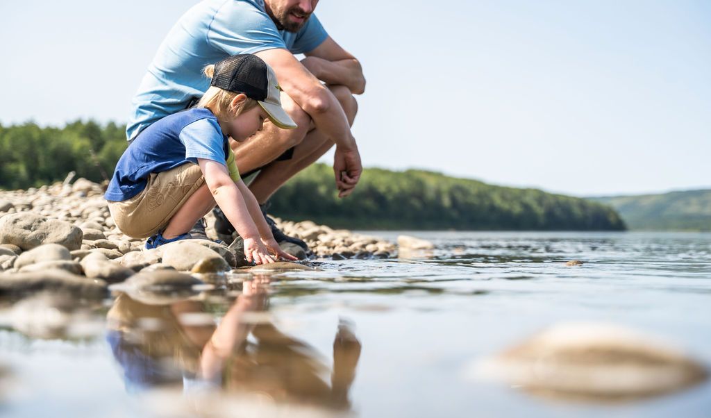
Discover the perfect family adventure with kid-friendly canoe trips on the Peace River. This scenic waterway offers gentle currents, breathtaking landscapes, and abundant wildlife, making it an ideal destination for...Peace River
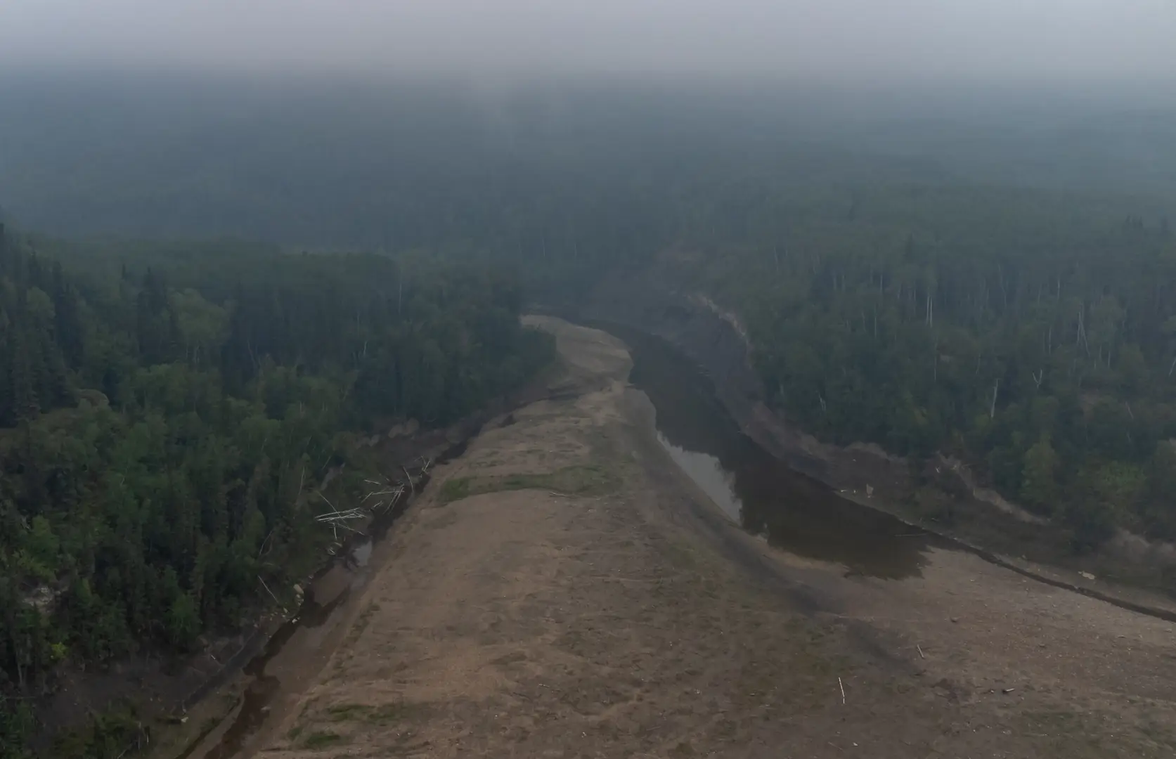
The Peace River is one of the oldest and deepest river systems in North America that is full of history. Through millions of years, it has supported many wildlife and lifestyles, including Indigenous tribes, trappers and traders, missionaries, gold prospectors, farmers, and finally tourists. This entire area was once inhabited by the Cree, and Beaver Indians, who in 1782 held a great peace rally that concluded the Cree would occupy the East of the river, and the Beaver would occupy the west. The place at which the rally was held was called “Unchaga” or Peace Point. The Peace River was renamed after this Point.
Clayhurst to North Peace Boat Launch – approximately 230km
KM11 – Pouce Coupe River and Maxwell’s Landing
GPS Coordinates: N56° 07.900’ W119° 54.683’
KM25 – Clear River
KM26 – Cotillion Park
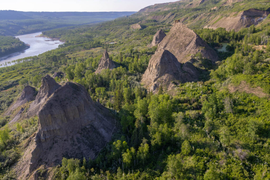
KM 27 – Hoodoos
KM 36 – Silver Valley
GPS Coordinates: N56° 13.155′ W119° 29.424′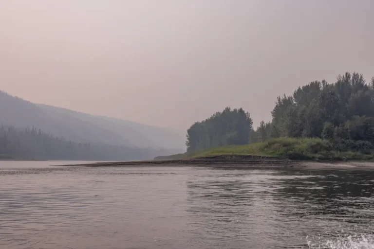
KM 48 – Beverly Island or Deadman’s Island
GPS Coordinates: N56° 14.767’ W119° 20.933’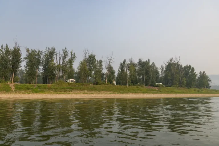
KM 65 – Many Islands
GPS Coordinates – N56° 18.953’ W119° 08.853’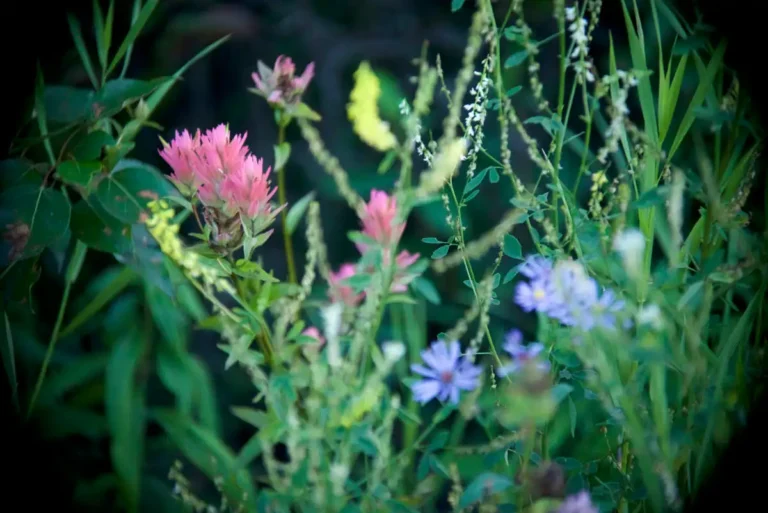
KM 78 – Montagneuse Islands
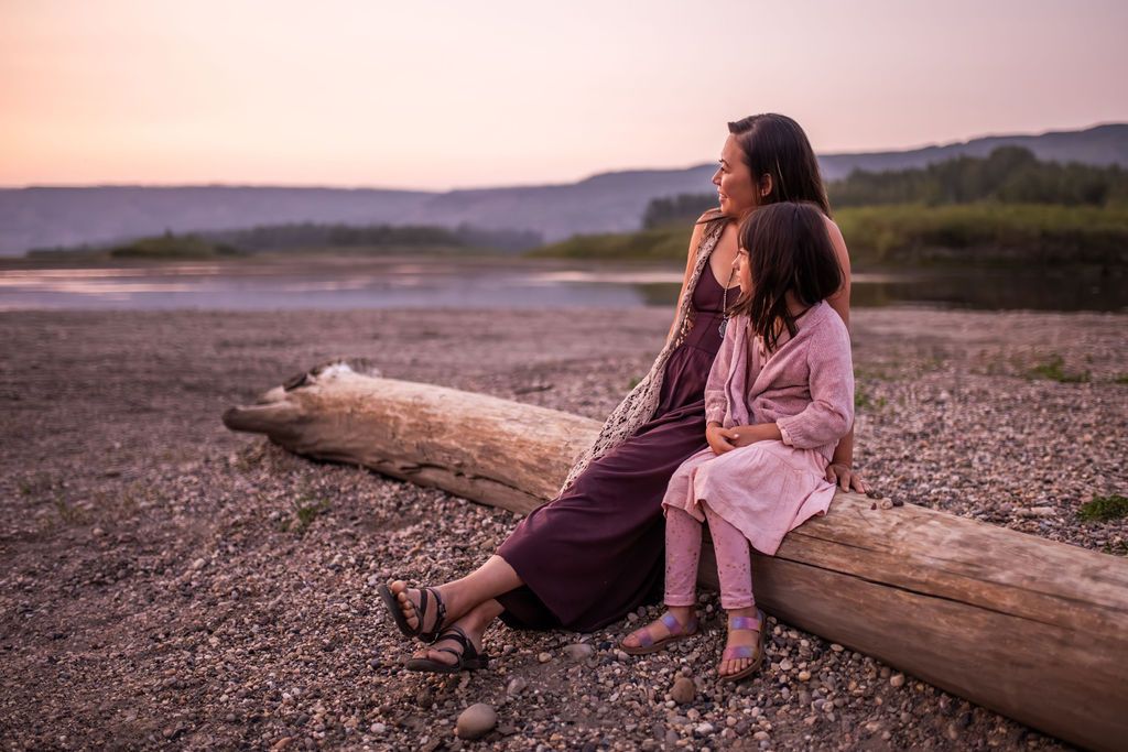
KM 81 – Carter Camp
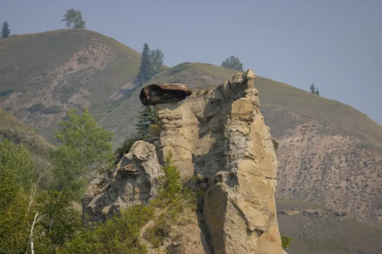
KM 105 – Cathedral Rock
GPS Coordinates: N56° 04.427’ W118° 55.501’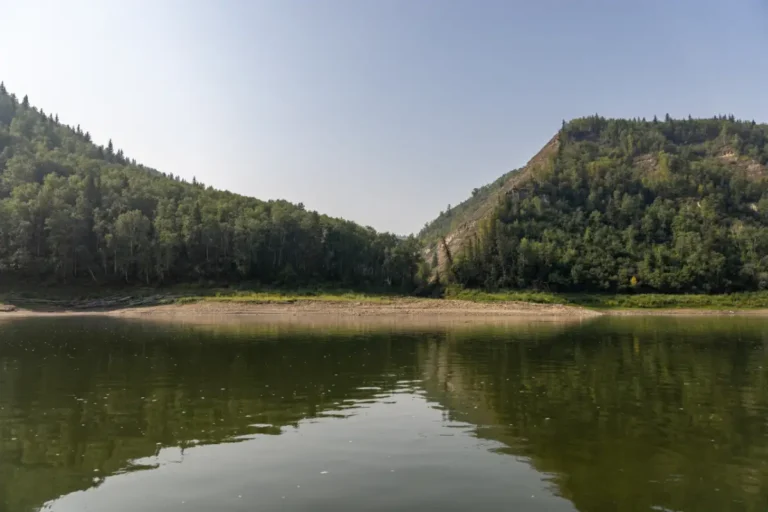
KM 106 – Fourth Creek
GPS Coordinates: N56° 03.933’ W118° 56.017’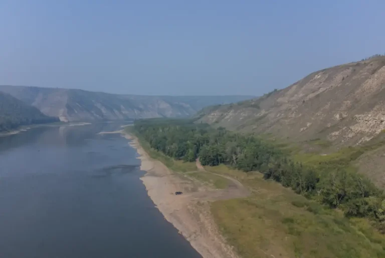
KM 108 – Pratt’s Landing
GPS Coordinates: N56° 02.700’ W118° 54.633’
KM 111 – Access Trail to Road
GPS Coordinates: N56° 01.783’ W118° 52.517’
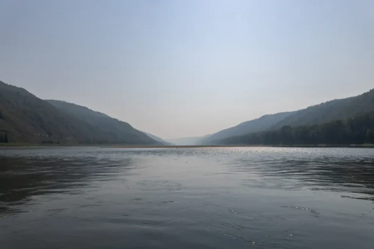
KM 115 – Sawchuck Rapids
GPS Coordinates: N56° 00.675’ W118° 49.079’
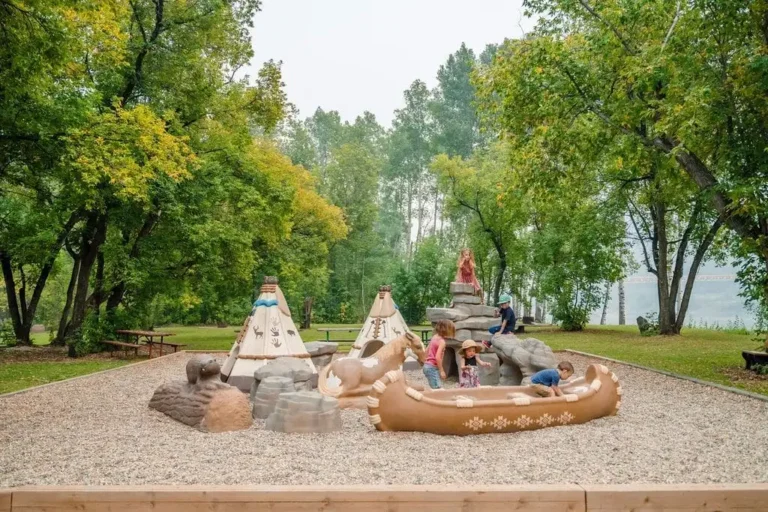
KM 135.5 – Maples Recreation Area
GPS Coordinates: N55°55.465′ W118°36.514′
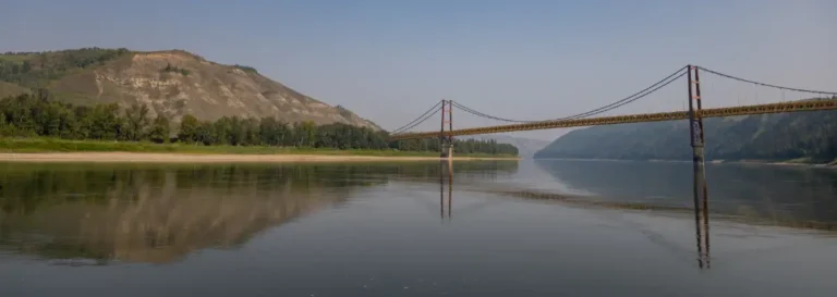
KM 136 – Dunvegan Historical Site and Bridge
GPS Coordinates: N55° 55.3878’ W118° 35.9136’
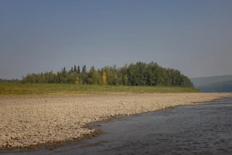
KM 145 – Green Island
GPS Coordinates: N55° 54.200’ W118° 27.583’
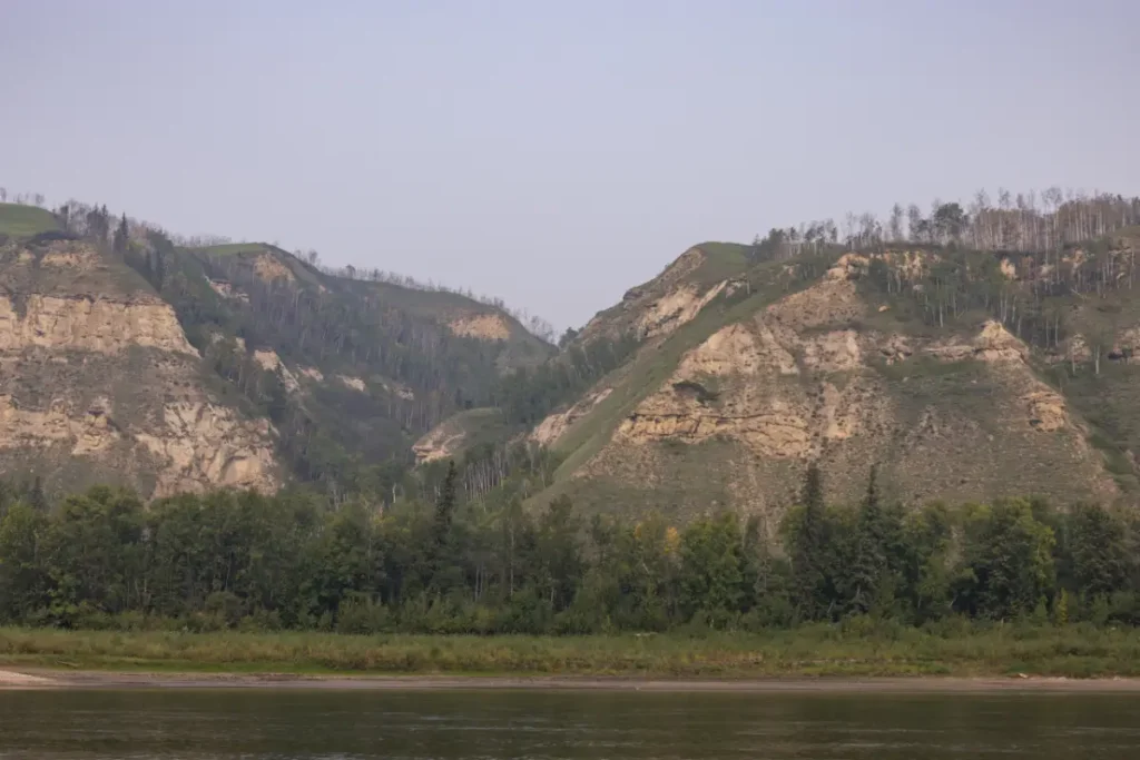
KM 168 – Saddle (Burnt) River and Leith (Little Burnt River)
GPS Coordinates: N55° 54.852’ W118° 08.632’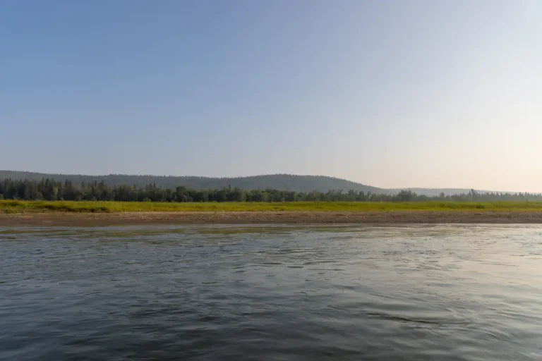
KM 177 – Elk Island Park
GPS Coordinates: N55° 55.150’ W117° 59.117’
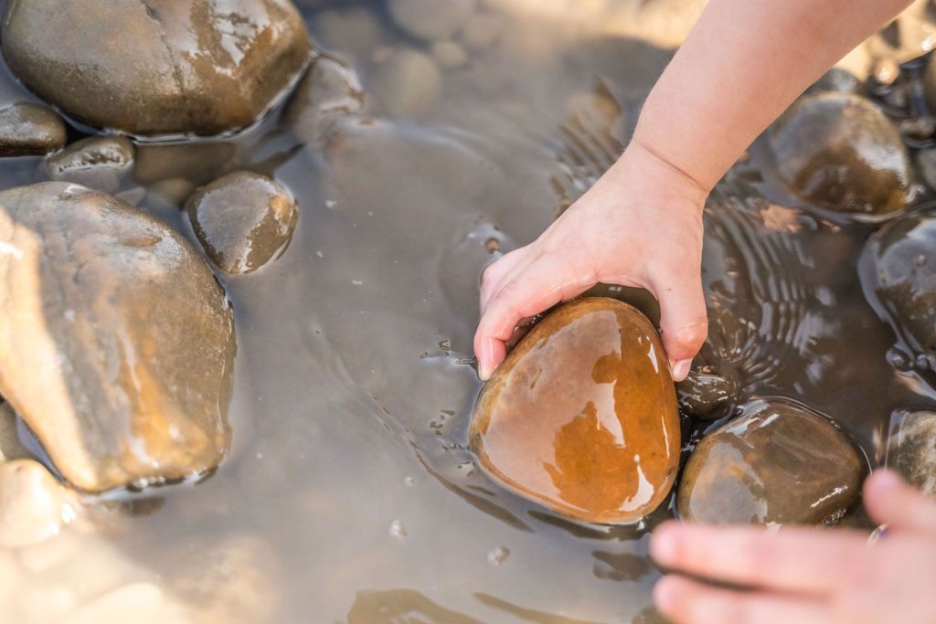
KM 181 – Sand Island
GPS Coordinates: N55° 55.759’ W117° 56.941’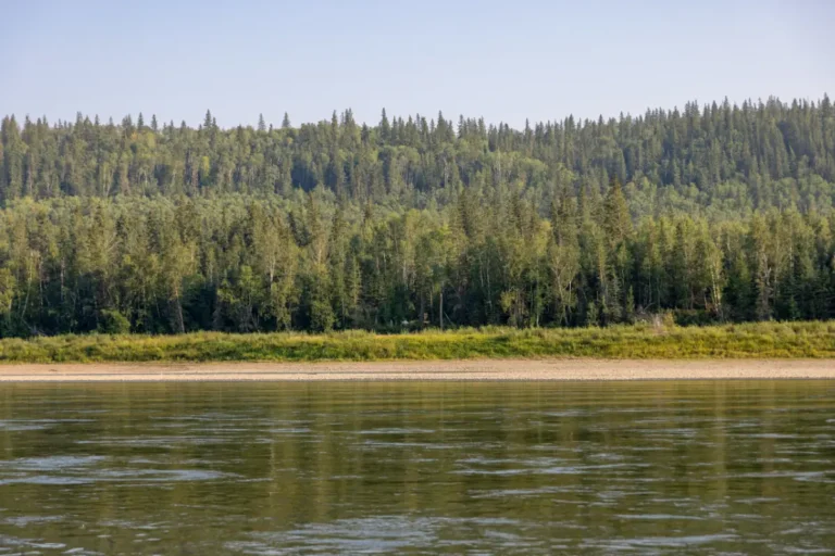
KM 184 – Kieyho Park
GPS Coordinates: N55° 55.900’ W117° 54.633’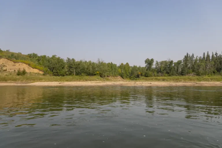
KM 198 – Griffin Creek
GPS Coordinates: N56° 01.577’ W117° 44.062’
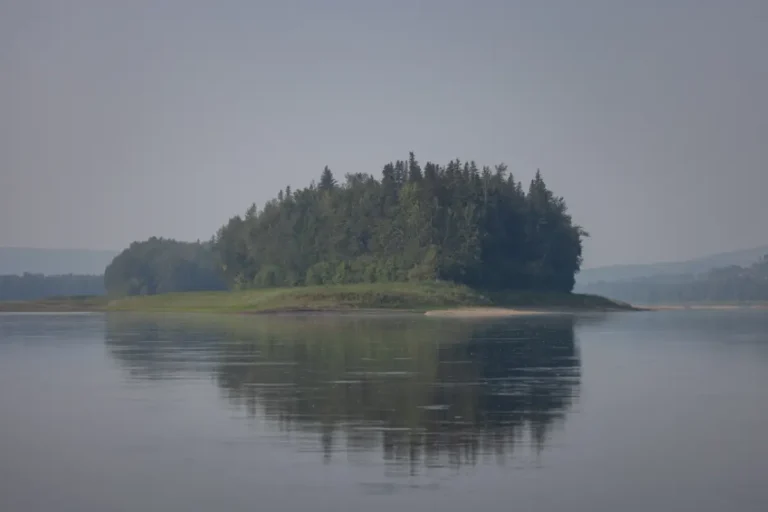
KM 202 – Mushikitee Island
GPS Coordinates: N56° 2.276’ W117° 39.956’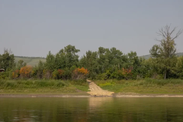
KM 211 – Shaftesbury Settlement
GPS Coordinates: N56° 05.192’ W117° 35.291’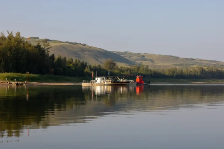
KM 213 – Shaftesbury Ferry
GPS Coordinates: N56° 05.709’ W117° 34.246’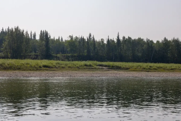
KM 214 – Tangent Park
GPS Coordinates: N56° 05.683’ W117° 33.417’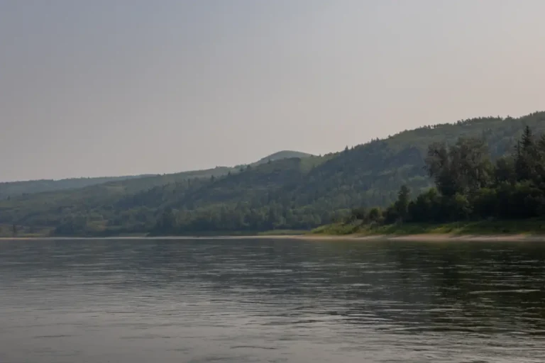
KM 216.5 – Mackenzie Lookout
GPS Coordinates: N56° 06.192’ W117° 30.922’
KM 218 – Anglican Mission
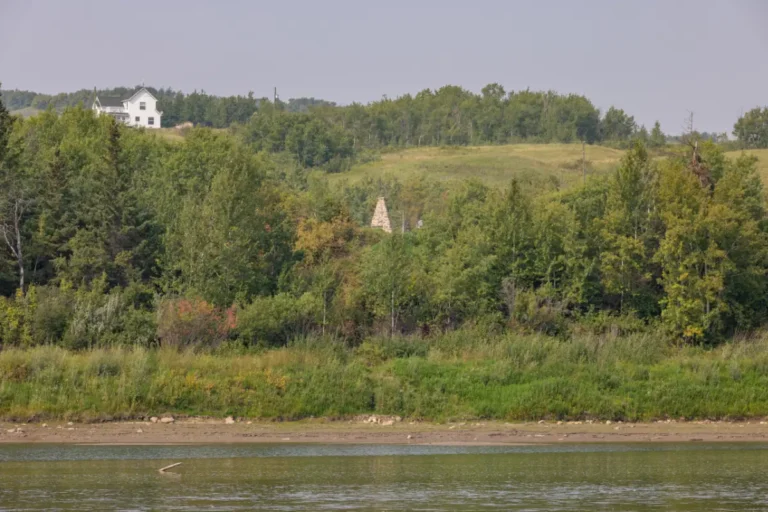
KM 221 – Mackenzie Cairn & Fort Fork
GPS Coordinates: N56° 08.158’ W117° 28.220’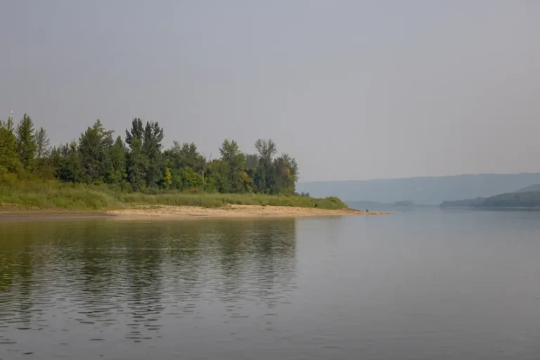
KM 225 – Strong Creek Park
GPS Coordinates: N56° 09.569’ W117° 25.198’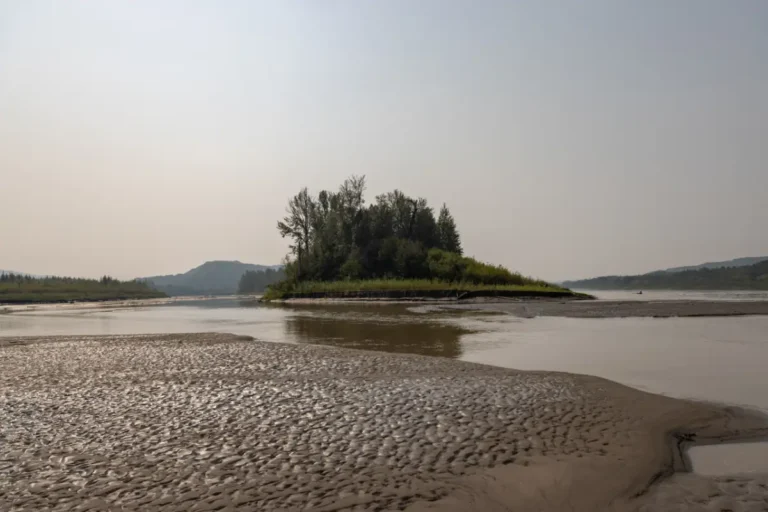
KM 231.5 – Smoky River
GPS Coordinates: N56° 12.167’ W117° 18.183’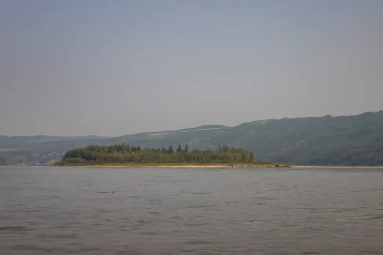
KM 234 – Deer Island
GPS Coordinates: N56° 12.167’ W117° 18.183’
KM 237 – Lower West Peace Boat Launch
GPS Coordinates: N56° 13.619’ W117° 17.721’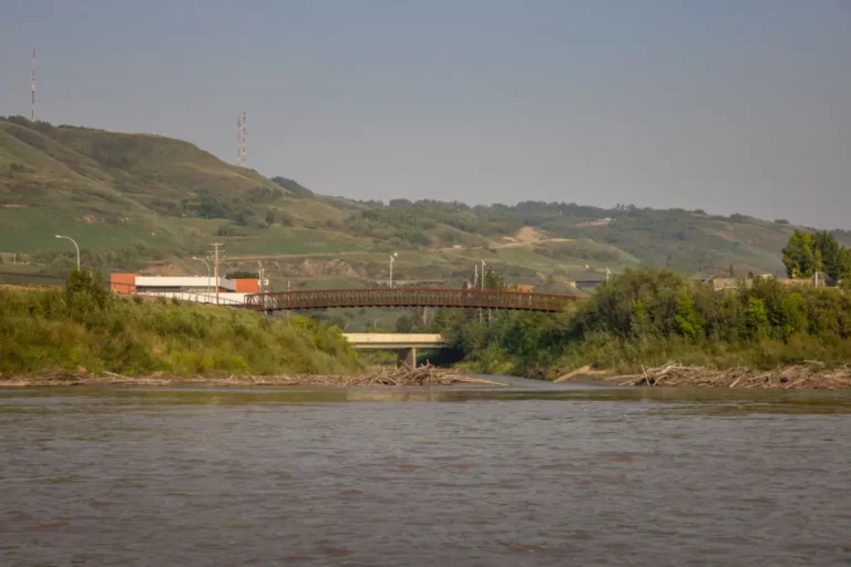
KM 238 – Heart River
GPS Coordinates: N56° 13.820’ W117° 17.634’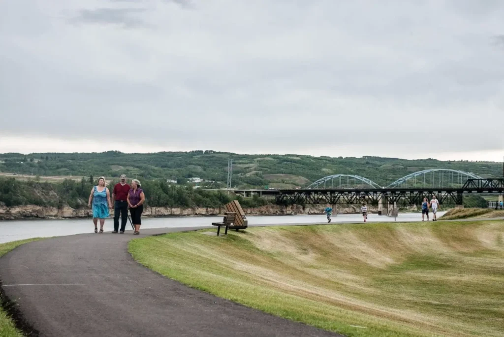
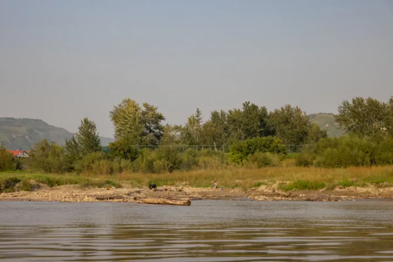
KM 238 – Town of Peace River
-
KM 238 – Pat’s Creek
GPS Coordinates: N56° 13.958′ W117° 17.772′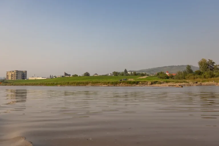
KM 238.5 – River Front Park
GPS Coordinates: N56° 14.066′ W117° 17.790′
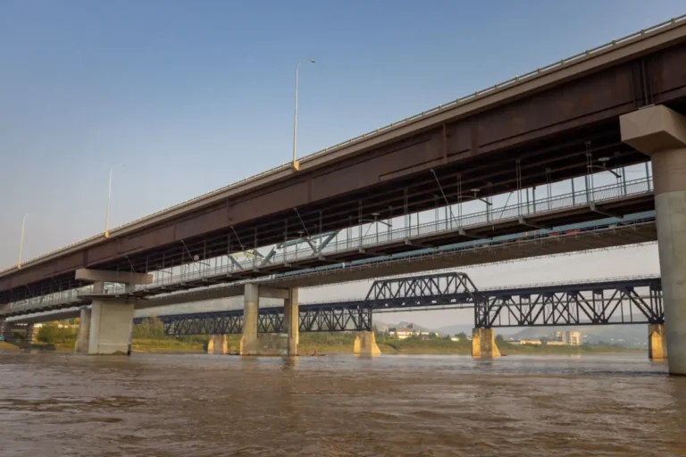
KM 239 – Peace River Bridges
GPS Coordinates: N56° 14.369′ W117° 18.271′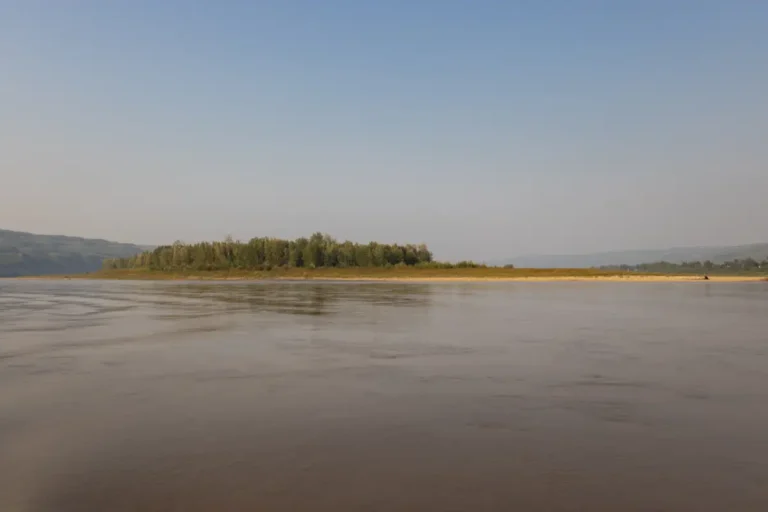
KM 240 – Bewley Island
GPS Coordinates: N56° 15.567’ W117° 18.367’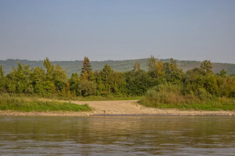
KM 240 – North End Boat Launch
GPS Coordinates: N56° 15.007’ W117° 18.202’Whitemud to Notikewin National Park
approximately 114kmMurphy Flats to Peace River and Smoky River Confluence
approximately 16kmWatino to Peace River and Smoky River Confluence
approximately 67.5km