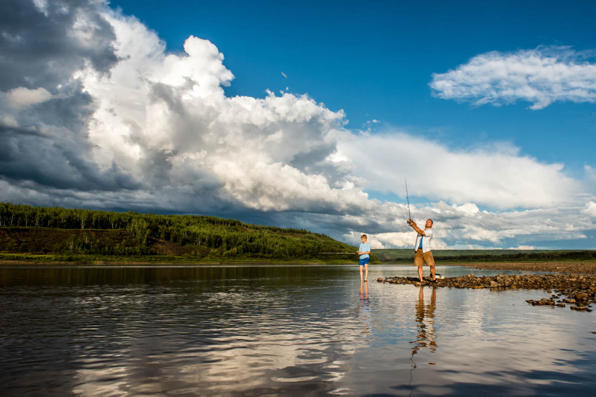
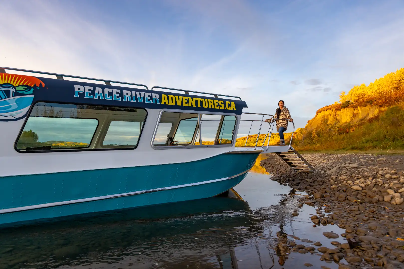
This is one of the earliest settlements along the Peace River, founded by an Anglican missionary, John Gough Brick, in 1886. He named it after Anthony Ashley-Cooper, 7th Earl of Shaftesbury, a philanthropist and social reformer. Here you will see the remnants of the old farms and gardens that were cultivated by the fur traders and Metis who lived here.
Connects the Shaftesbury Settlement with the south shore of the Peace River. It operates from May to October, and can carry up to nine vehicles at a time. It is a fun and scenic way to cross the river and enjoy the views.
Mackenzie Cairn & Fort Fork
This is a historic site on the north shore of the Peace River. It marks the location of Fort Fork, where Alexander Mackenzie wintered in 1792-93. He built a cairn here with a message inscribed on a lead plate, claiming the land for King George III. The cairn was rediscovered in 1908 by J.B. Tyrrell, a geologist and explorer. A replica of the cairn and a plaque are now on display.
St. Augustine Mission & PR Correctional Centre
This is a historic site on Shaftesbury Trail near Peace River. It was established in 1888 by Father Albert Lacombe, a Catholic missionary who worked among the Cree and Metis people. He built a church, a school, and a hospital here, as well as planted an apple orchard that still bears fruit today.
This is a park located on Shaftesbury Trail near Peace River. It offers camping facilities, picnic areas, playgrounds, and trails. It is also a great spot to access the Peace River for fishing, boating, or swimming.
This is the largest town along the Peace River, with a population of about 7,000 people. It was founded in 1919 by Charles Spencer Niven, who named it after his wife"s maiden name (Peace). The town has many attractions, it is also the hub of the Peace Country, a region of agriculture, forestry, oil and gas, and tourism.
A fascinating historical landmark nestled in the heart of the Peace River. Old Salty holds a captivating tale of human endeavor and the power of nature. This attraction traces its roots back to the early 20th century when Peace River Oil Company drilled a well that turned into an unexpected blowout. This incident, known as the Old Salty Blowout, resulted in a geyser-like eruption, spewing a tremendous amount of oil and saltwater into the air.
This is a mine located on the north shore of the Peace River. It produces high-quality silica sand that is used for fracking, glass making, and other industrial purposes. It is one of the largest silica sand mines in Canada.
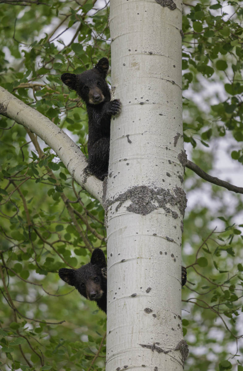
This is an island located in the middle of the Peace River. It is a natural reserve that hosts a variety of wildlife, such as beavers, muskrats, otters, ducks, geese, and eagles. It is also a historical site that was used by fur traders, missionaries, and explorers as a stopping point along the river. It is only accessible by boat.
This is a beautiful park located on the south shore of the Peace River, near the village of Tangent. It offers camping facilities, picnic areas, playgrounds, and trails. It is also a great spot to watch wildlife.
This is a viewpoint that overlooks the Peace River valley and the town of Peace River. It is named after Alexander Mackenzie, the first European explorer to cross Canada by land in 1793. He wintered at Fort Fork near the mouth of the Smoky River before continuing his journey to the Pacific Ocean. A plaque commemorates his historic voyage.
This is a lookout point on Shaftesbury Trail near Peace River. It offers a panoramic view of the confluence of the Peace and Smoky rivers. Sagitawa is a Cree word that means !where the rivers meet”.
This is a tributary of the Peace River that flows through the town of Peace River. It is named after the heart-shaped bend it makes near its mouth. It is a popular spot for fishing, canoeing, and kayaking.
These are three bridges that span the Peace River in the town of Peace River. The Heart River Bridge was built in 1968 and carries Highway 2 across the river. The Peace River Bridge was built in 1980 and carries Highway 684 across the river. In 2021 a newly constructed bridge was built to help with the increase in traffic. The bridges offer spectacular views of the river and the town.
The pipe sticking out of the ground is where Victory Well was in 1918. The well was capped off due to only natural gas discovered but the rumor was that there really was oil down there. On April 20th, 1922 a curious citizen blew the cap off with nitro-glycerin. It shook the town and left salt water flowing into the river for many years. You can see the black stain along the bank. Tar Island Oil Company explored the valley from 1914 to 1920 finding oil at depths of around 1000 feet but further down encountered salt water.
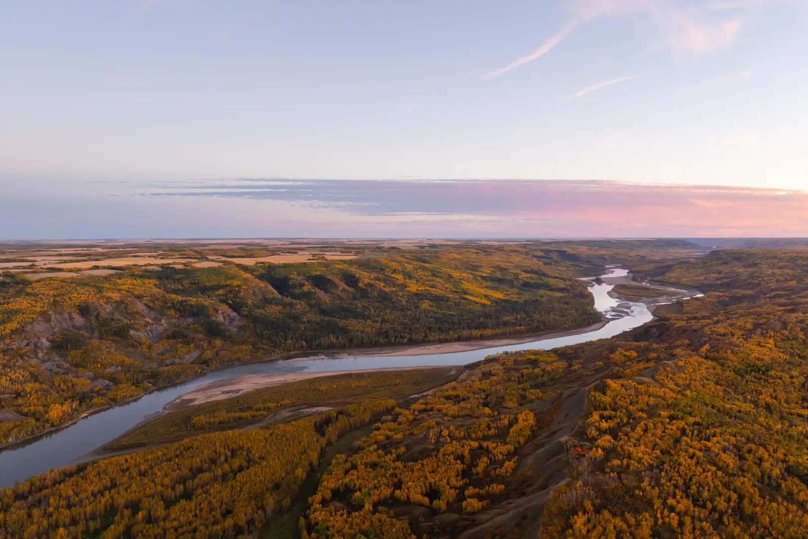
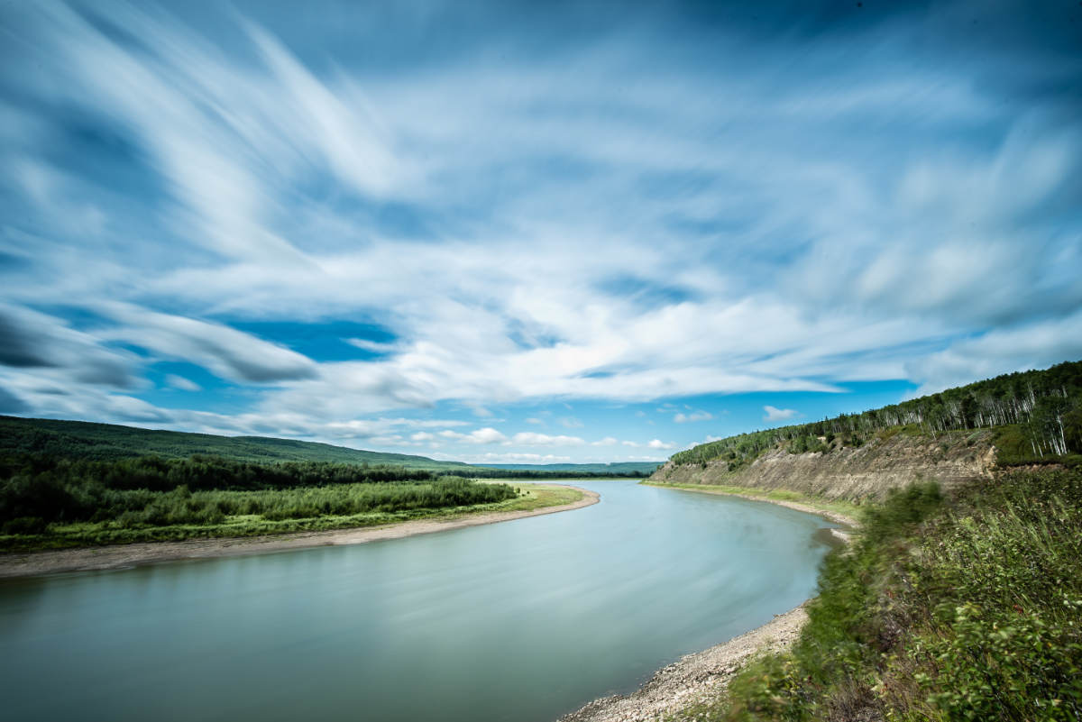
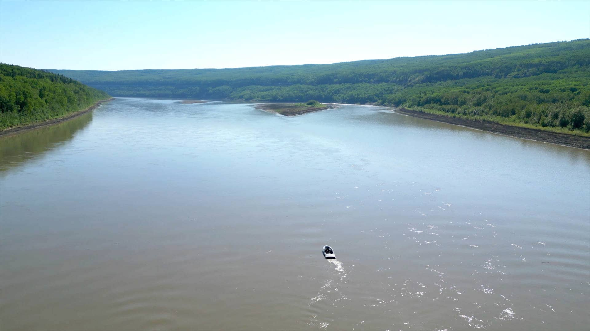
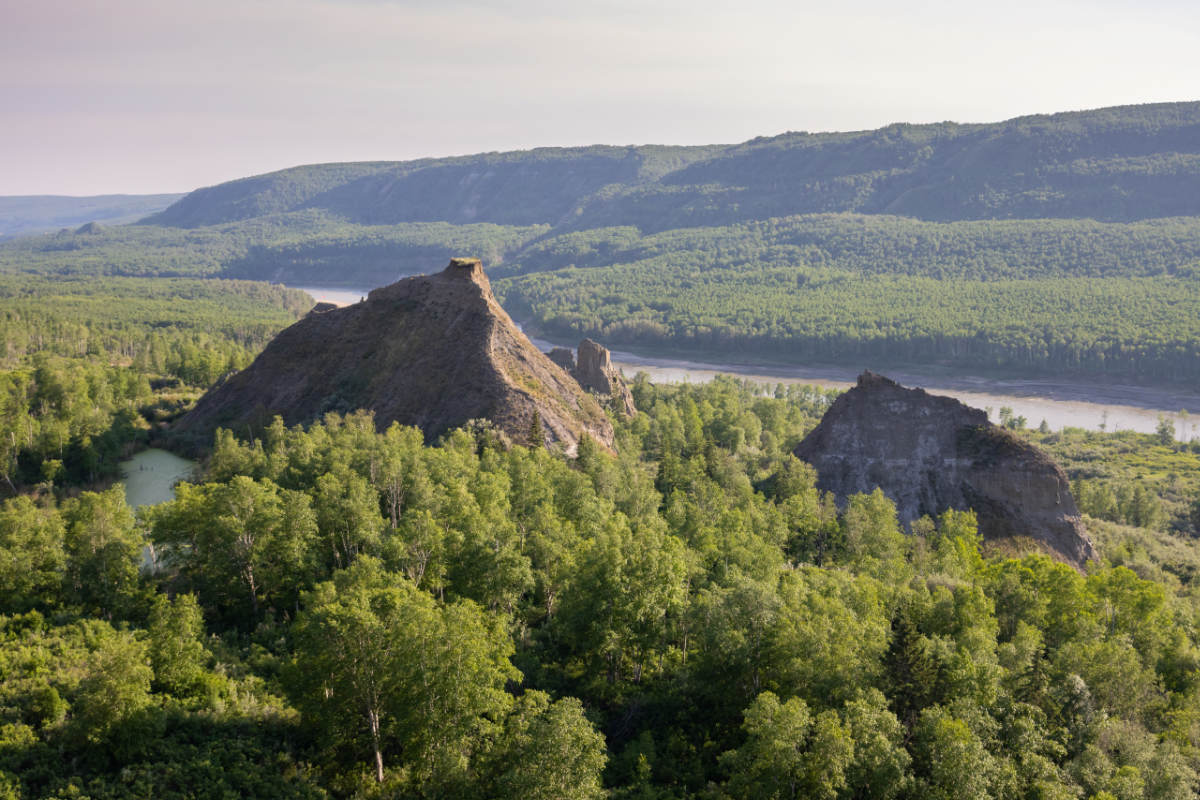
The head waters are located at Williston Lake in B.C.and travel to the Slave River and into the Great Slave Lake some 1100 km. Our area of the Peace River Valley is pre glacial. The formations of the upper cretaceous era are visible to the naked eye. Great fossil hunting.
The headwaters of the Peace come from the Finely and Parsnip Rivers in British Columbia at Williston Lake which is the source of the waters for the power generation at the W.C. Bennett Damn. The waters of the Peace flow northeast 1100 km tò Lake Athabasca into the Mackenzie River System to the Arctic Ocean.
Found by prospectors' 50 years ago. Estimated deposit of 48 million tonne. First two years of process expected to be 45,000 tonne with expansion to 1 million tonnes for third year. Gas well companies will utilize 1/3 of sand produced. 200,000 tonnes of sand are imported to Canada each year from the US. Other markets requiring silica are fiber optics concrete and fiberglass.
It is the longest rural bridge in Alberta and the contract to build it required two of the largest contracts ever tendered by Alberta Transportation. Cost $30 million. ($10 million paid by DMI) Built from June 1989 to June 1992. 2496 feet long (768 Meters)
Took two years to build opening in July 1990 at a cost of $579 million. It represents state of the art pulping technology and environmental design. The craft pulp made here is sold on the world market for photographic paper, computer paper and coated printing paper. Its annual production is 340,000 metric tonnes, employing 340 people and about 350 contract people.
Constructed between 1917 & 1918. Cost - $1.5 million
Constructed in 1965 to 1968. Cost - $4.5 million
Probably the most .famous of the boats that traveled the waters between 1883 and 1952 was the D.A. Thomas Paddle wheeler. It was a monster craft in those days - 162'long and 37 ' wide. It was launched May 31,1916 from West Peace Shipyard.

